Treasure Hunting
The NHA's Hidden Gem
Written by David Creed
Photography by Kit Noble
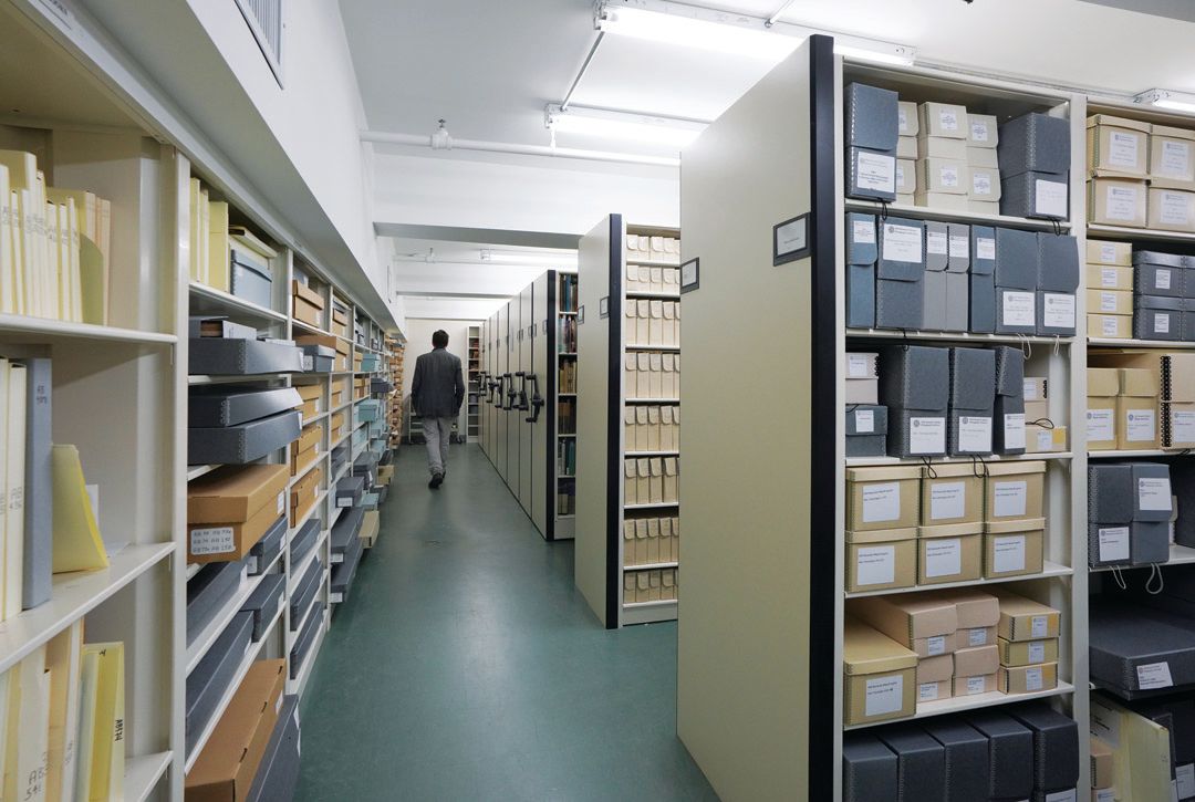
The moment you step foot on Nantucket, you automatically immerse yourself in history. But for those who want to delve deeper, the Nantucket Historical Association’s Research Library located at 7 Fair Street is a treasure trove of Nantucket’s past. In fact, very few buildings, if any, on the 13-mile island hold as much history as this one with thousands of meticulously preserved documents and artifacts kept inside.
Deep within the corridors of the historic building, several centuries’ worth of island relics and documents are locked inside a large, temperature-controlled vault. Some items date back as far as the 1600s, while others have been collected over the past 20 years—but no matter their age, they’re all pieces of history that cannot be replaced if they were to be lost. In other words, they are priceless.
The items inside are available to the public but by appointment only. According to Amelia Holmes, the NHA’s director of Collections & Research Services, because there are so many items in the collection, in order to pull specific artifacts, the team needs to go through the library’s digital catalog to find where they are located. “It’s not possible for anyone to really know everything we have here,” she explains.
One important artifact includes a map from 1625 created by Henry Briggs. It is known as the first one to depict the island and is believed to be the oldest item in the NHA’s possession. It is also considered to be one of the most influential maps of the 17th century. “I actually love that map because I don’t know if you’re familiar with the concept [of] the island of California, but there are all of these maps where California exists as an island from people coming up from the Baja Peninsula,” Holmes says, “and so even at the time that this map came out, they knew that it wasn’t an island but the English still put it on maps and eventually the king had to issue a statement saying to stop. I just love that this is so old that it’s got the island of California, and then Nantucket is over there almost as an unknown.”
Briggs, who had yet to visit North America at this time, constructed the map through documentation and accounts made by other travelers who had been to the region—more famously through correspondence with English explorer Thomas Dermer, who was best known for being an early liaison between the Native American population of southern New England and the Mayflower Pilgrims. The map is also the first to name Cape Cod. Nantucket, which was not yet known by its modern name, is transcribed as “Caupaw,” stemming from the Indigenous settlement of the Caupaum who lived on the island at that time. “[Dermer] documents his travels, his experiences, and in the book he wrote, he talks about meeting the people living here,” Holmes says. “And that is what they refer to the island as, Caupaw. So that is where the name on this map is coming from.”
A variety of historic photographs also exist within the vault, with the earliest dating back to 1841. The photo depicts Main Street prior to the Great Fire of 1846. “That’s the only known photo of the town before the fire that still exists,” says Holmes. Many other photos are portraits that show islanders from the 17th century up to the present day. In addition to pictures, the island community is documented through yearbooks, dance cards, report cards, and other learning materials preserved by the library over the years.
From our island’s whaling history, the library possesses hundreds of sailor logbooks, all of which contain firsthand accounts of their travels centuries ago. Many of them date back to the 19th century and have become the focus of scholars’ studies. “One area that’s been an increasing research focus for scholars are these [logbooks], which track data around weather in the 19th century, and so they have been of interest to climate change scientists,” Holmes explains. “We’ve worked on a number of projects and have a professor we’re working with at UMass Dartmouth on extracting that information on what the weather was like in various parts of the ocean over this period of time.”
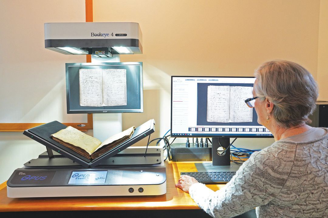
During N Magazine’s tour of the building in May, the library was in the midst of digitizing 400-plus account books ranging from the 1680s through the 1980s—documenting 300 years of island history. This included a Westgate Store account book from January to November 1847. Account books like this show the island’s financial growth, especially when it comes to those small businesses that served the whaling industry, as well as those farmers that stayed home. Through digitizing artifacts like this, the library eternalizes them. “Our goal is to make things as accessible as possible, and the security comes from not keeping people out, but just thinking about the future Nantucket researchers. How do we help things last as long as possible here?” Holmes says. Anyone interested in learning more about Nantucket and immersing themselves in the island’s rich history would be wise to check out the research library and set up an appointment through its website at nha.org/research/research-library/.
Latest Stories